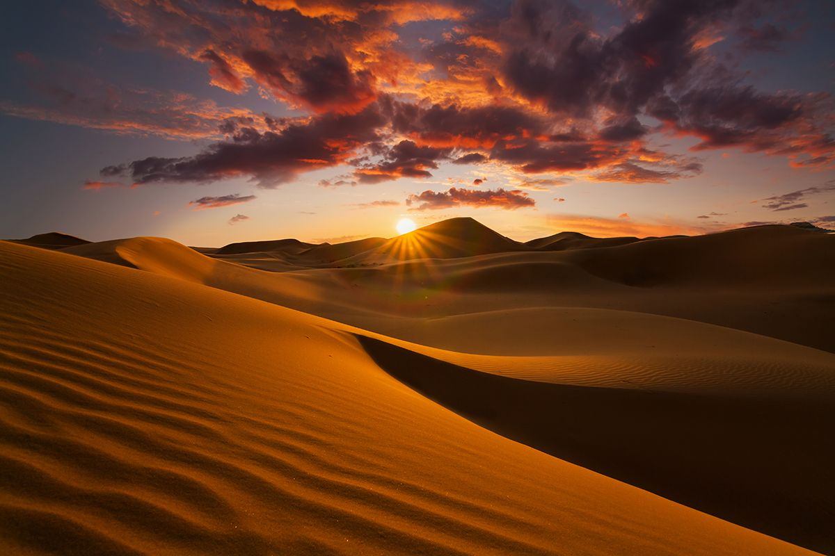
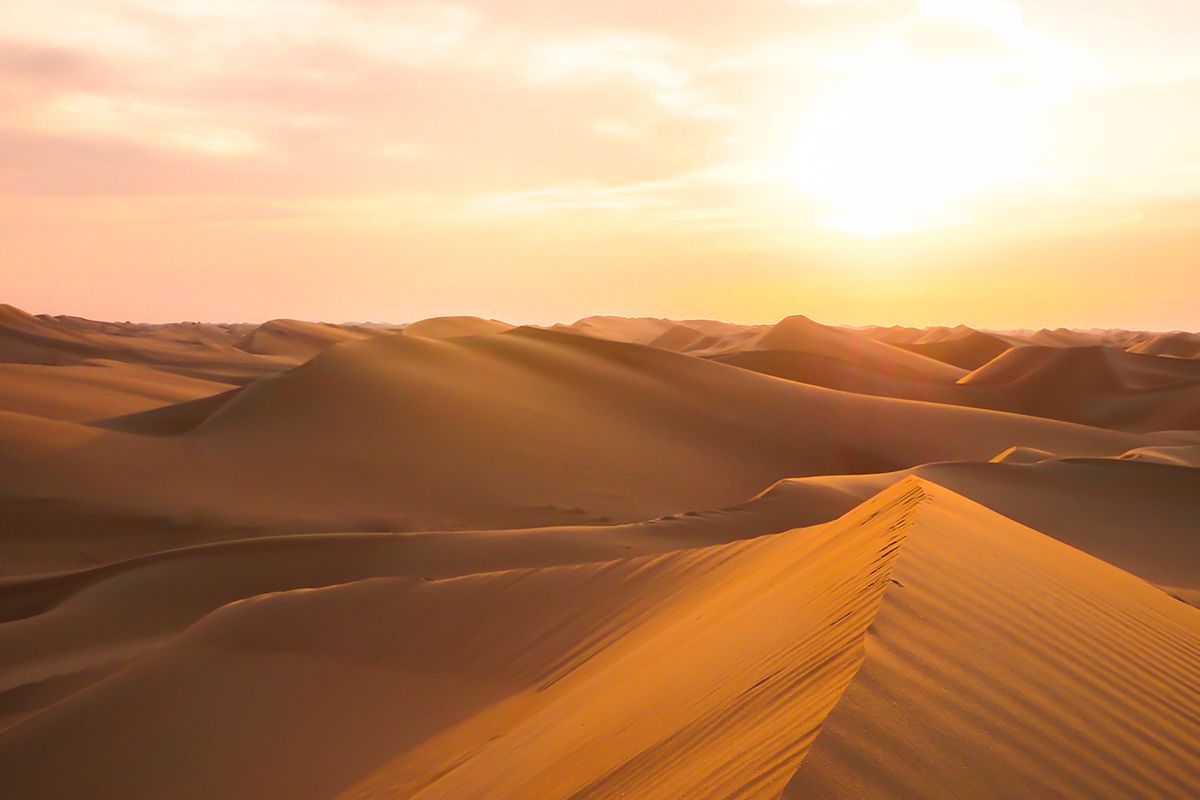
 https://geographical.co.uk/wp-content/uploads/Saharasunset-2-600x400.jpg 600w,
 Deserts are arid ecosystems that receive less than 250 millimetres of precipitation a year on average. As the amount of evaporation in a desert often greatly exceeds the annual rainfall, there’s little water available for plants and other organisms, although many still find a way to survive.
While the common perception of a desert is a sandy expanse, sand dunes cover only about ten per cent of the world’s deserts, which can be divided into four types: hot and dry (also known as arid or subtropical), semi-arid, coastal and cold. Here we depict the world’s ten biggest deserts.
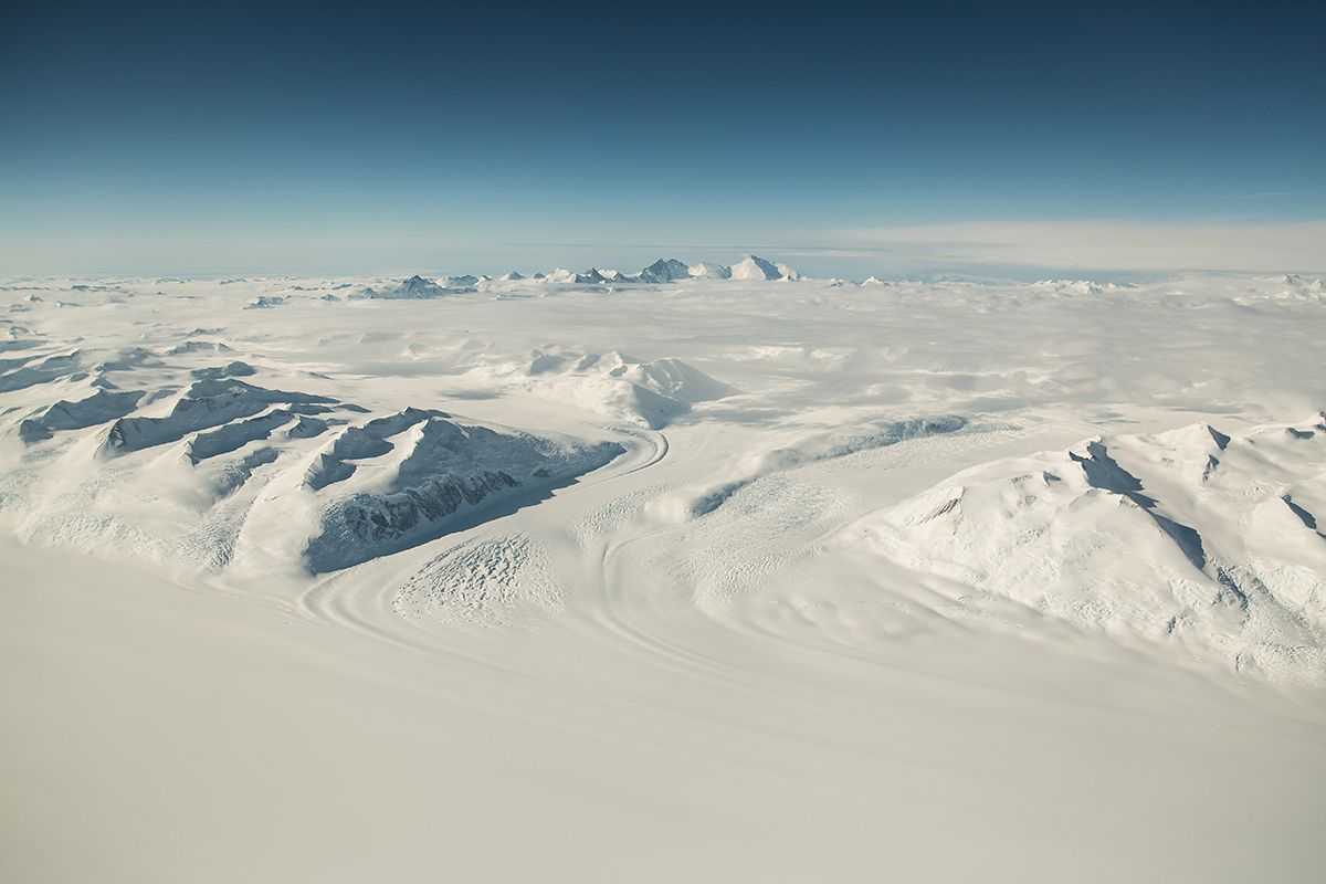
Antarctic – 14.2m km²
 https://geographical.co.uk/wp-content/uploads/antarctica-600x400.jpeg 600w, https://geographical.co.uk/wp-content/uploads/antarctica-768x512.jpeg 768w" sizes="(max-width: 1200px) 100vw, 1200px" />
A view of the rocky snowy landscape of Antarctica. Image: Shutterstock
Antarctica is, on average, the coldest, windiest and driest of all the world’s continents. With an average annual precipitation of just 166 millimetres along the coastal regions and even less farther inland, it qualifies as a desert. What snow falls doesn’t melt, instead building up over many years to create large, thick sheets of ice. The continent has no trees or shrubs; the only plants that can live in a region so cold and dry are mosses and algae.
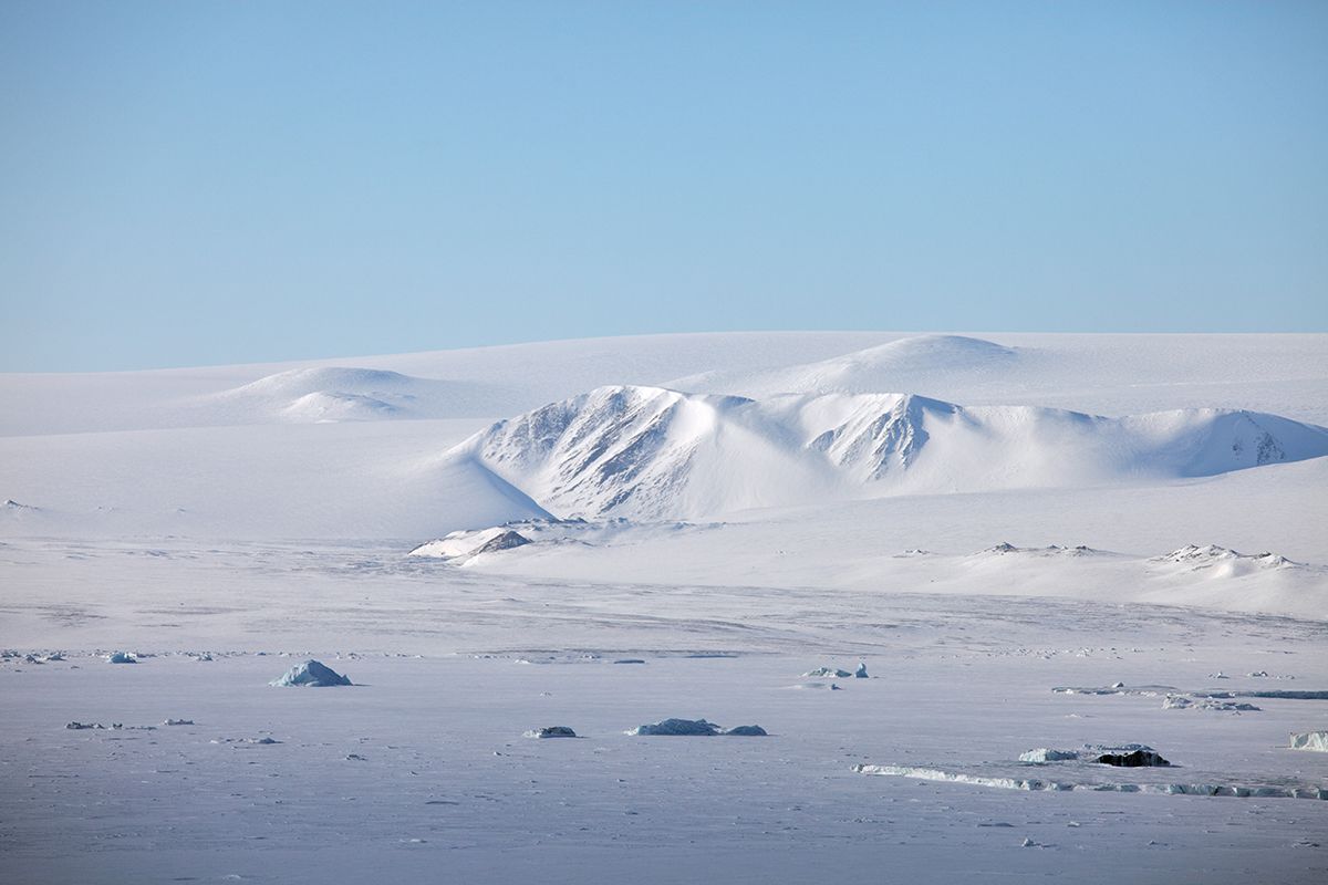
Arctic tundra (Canada, Russia, Denmark (Greenland), Finland, Iceland, Sweden, Norway, USA – 13.9m km²
 https://geographical.co.uk/wp-content/uploads/arctictundra-1-600x400.jpg 600w, https://geographical.co.uk/wp-content/uploads/arctictundra-1-768x51... 768w" sizes="(max-width: 1200px) 100vw, 1200px" />
Severnaya Zemlya (Northern Land) Archipelago in the Russian high Arctic. Image: Vladimir Melnik/Shutterstock
Did you know?
Deserts are found on every continent and cover about one-fifth of the Earth’s land area. They are home to around a billion people — one-sixth of the global population.
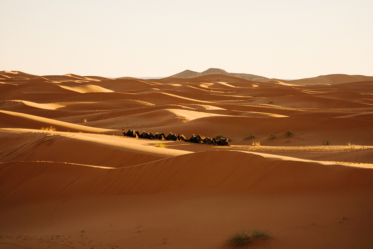
Sahara (Western Sahara, Mauritania, Algeria, Mali, Niger, Libya, Egypt, Sudan) – 9.2m km²
 https://geographical.co.uk/wp-content/uploads/Sahara-600x400.jpg 600w, https://geographical.co.uk/wp-content/uploads/Sahara-768x512.jpg 768w" sizes="(max-width: 1200px) 100vw, 1200px" />
A line of camels in the desert near Merzouga, Morocco. Image: Shutterstock
Australian desert – 2.7m km²
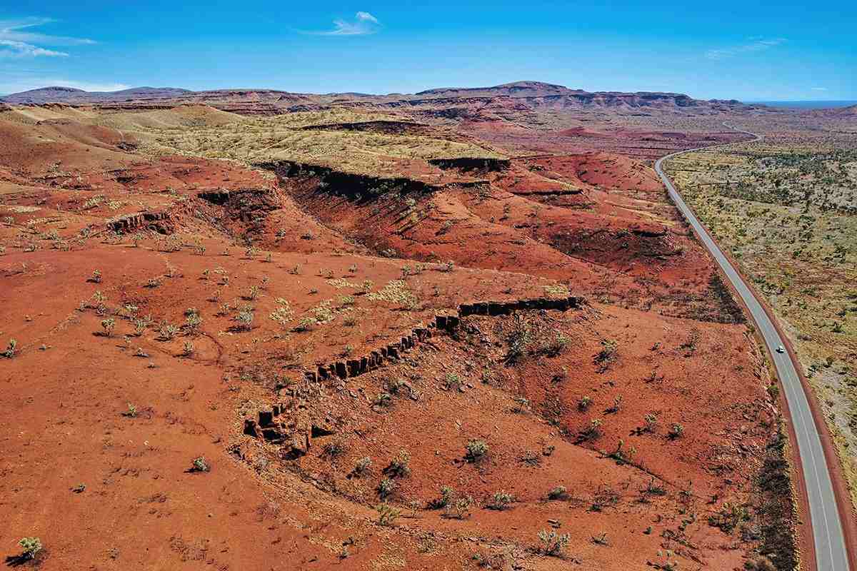 https://geographical.co.uk/wp-content/uploads/australiandesert-600x400.jpeg 600w, https://geographical.co.uk/wp-content/uploads/australiandesert-768x... 768w" sizes="(max-width: 1200px) 100vw, 1200px" />
A road cuts through the red Australian desert in Pilbara, Western Australia. Image: Shutterstock
Arabian desert (Saudi Arabia, Jordan, Iraq, Kuwait, Qatar, UAE, Oman, Yemen) – 2.3m km²
 https://geographical.co.uk/wp-content/uploads/arabiandesert-1-600x400.jpg 600w, https://geographical.co.uk/wp-content/uploads/arabiandesert-1-768x5... 768w" sizes="(max-width: 1200px) 100vw, 1200px" />
Sand dunes in the Arabian desert near Abu Dhabi
The Arabian Desert encompasses almost the entire Arabian Peninsula, blanketing the area in sandy terrain and seasonal winds. It contains the Rub’ al-Khali (the Empty Quarter), one of the world’s largest continuous bodies of sand. Despite the name, Bedouin tribes have crossed these sands for centuries, herding animals (camels, sheep, goats or cattle) into the desert during the rainy winter season and moving back toward cultivated land during the dry summer months. Today, however, only an estimated five per cent of the Bedouin people still live as pastoral (semi)nomads.
Gobi desert (Mongolia, China) – 1.3m km²
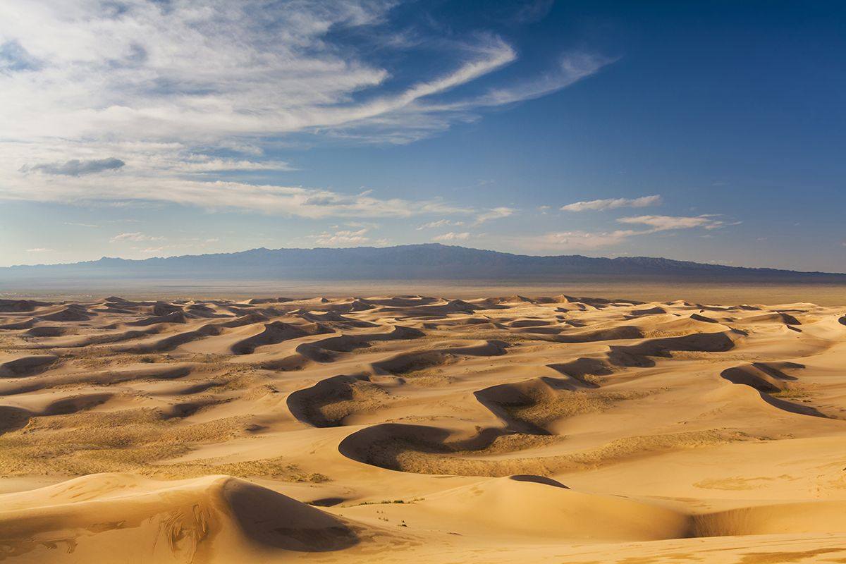 https://geographical.co.uk/wp-content/uploads/gobidesert-600x400.jpeg 600w, https://geographical.co.uk/wp-content/uploads/gobidesert-768x512.jpeg 768w" sizes="(max-width: 1200px) 100vw, 1200px" />
Gobi desert with a mountain in the distance. Image: Shutterstock
Kalahari desert (Botswana, Namibia, South Africa) – 0.93m km²
 https://geographical.co.uk/wp-content/uploads/kalahari-600x400.jpeg 600w, https://geographical.co.uk/wp-content/uploads/kalahari-768x512.jpeg 768w" sizes="(max-width: 1141px) 100vw, 1141px" />
Orange sand dune in the Kalahari desert
Strictly speaking, the Kalahari doesn’t fit the definition of a desert as its wettest regions can receive more than 500 millimetres of rain in very wet years. However, it remains extremely dry. Rain filters rapidly through the vast expanses of sand, leaving nothing on the surface. In fact, the name ‘Kalahari’ is derived from the Tswana word kgala, meaning ‘the great thirst’, or kgalagadi, meaning ‘a waterless place’. Some people favour a definition of a desert as a region in which the evaporation rate is twice as great as the precipitation, which is true for the southwestern half of the Kalahari. The desert is home to several important national parks and reserves, providing sanctuary for antelope, elephants, giraffes, many bird species and various predators
Patagonian (Argentina, Chile) – 0.67m km²
 https://geographical.co.uk/wp-content/uploads/PatagoniaDesert-1-600x400.jpg 600w, https://geographical.co.uk/wp-content/uploads/PatagoniaDesert-1-768... 768w" sizes="(max-width: 1200px) 100vw, 1200px" />
Rocky desert landscape of Patagonia, Santa Cruz province, Argentina. Image: Shutterstock
Great basin (USA) – 0.49m km²
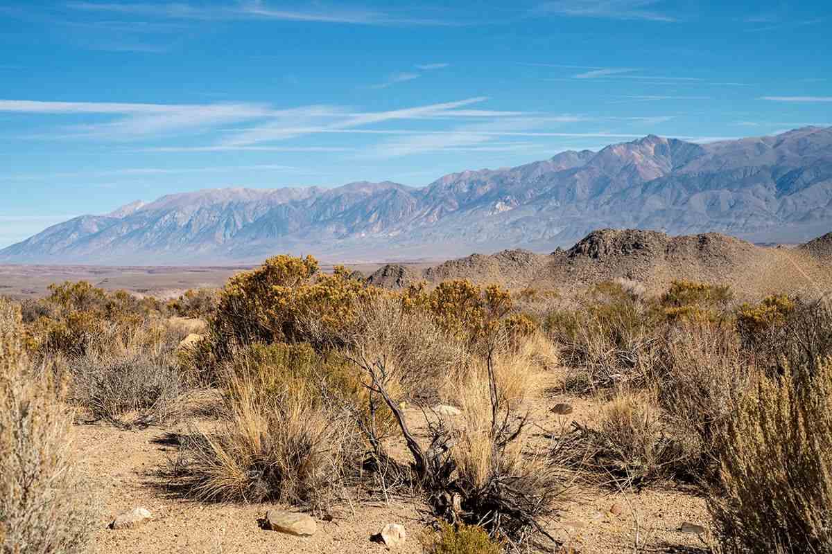 https://geographical.co.uk/wp-content/uploads/Greatbasin-600x400.jpeg 600w, https://geographical.co.uk/wp-content/uploads/Greatbasin-768x512.jpeg 768w" sizes="(max-width: 1200px) 100vw, 1200px" />
Great basin in the Sierra Nevada mountain range, California. Image: Shutterstock
Syrian desert (Iraq, Syria, Jordan, Saudi Arabia) – 0.46m km²
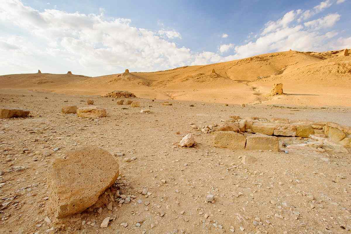 https://geographical.co.uk/wp-content/uploads/Syriadesert-1-600x400.jpg 600w, https://geographical.co.uk/wp-content/uploads/Syriadesert-1-768x512... 768w" sizes="(max-width: 1200px) 100vw, 1200px" />
Landscape of the desert and Palmyra, Syria


Pentru a putea adăuga comentarii trebuie să fii membru al altmarius !
Alătură-te reţelei altmarius